4.11.2008
Back to the Bay - Old News Reviews
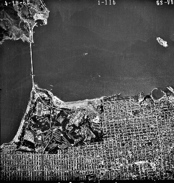
The Center for Land Use Interpretation folks are like rangers of our post-urban and industrial world. Their website offers pointers for modern explorers looking to find the arteries and veins, some still in use, some abandoned, where our fuel, waste, and basic resources have traveled in and out of our communities. Their book, Back to the Bay Exploring the Margins of the San Francisco Bay Region maps the San Francisco, San Pablo, and Suison Bays, using short descriptions and ground level and aerial photos to follow the line where the water meets the land. As you read you'll learn quickly that our coastal area is dominated by a surprising number of sewage treatment plants, salt harvesting ponds, oil refineries, pit mines, and more sewage treatment plants. I found myself a little heartbroken by the amount of shit (and more toxic chemicals) that we pour into our bay from every direction. But the book also suggests the transformation possible in the many places where former toxic industries like explosive and pesticide production have disappeared and the land is turning back into marshes and wilds. (Of course that transformation is bittersweet as well – the jobs that went with those industries have disappeared too, leaving a huge community of underemployed poor people here in the Bay Area. And those toxic industries haven't disappeared – they've simply moved to places in the world with less environmental regulation.)
In any case, this book (which was apparently created to accompany an exhibit at the Yerba Buena Center) is an excellent guide to the parts of the Bay Area that hide in plain view. Keep it in your glove compartment or carry it in your panniers.
Subscribe to:
Post Comments (Atom)

1 comment:
That looks like a great book -- I ordered a copy. I noticed they profiled the AES plant. Recognize it from here?
Post a Comment